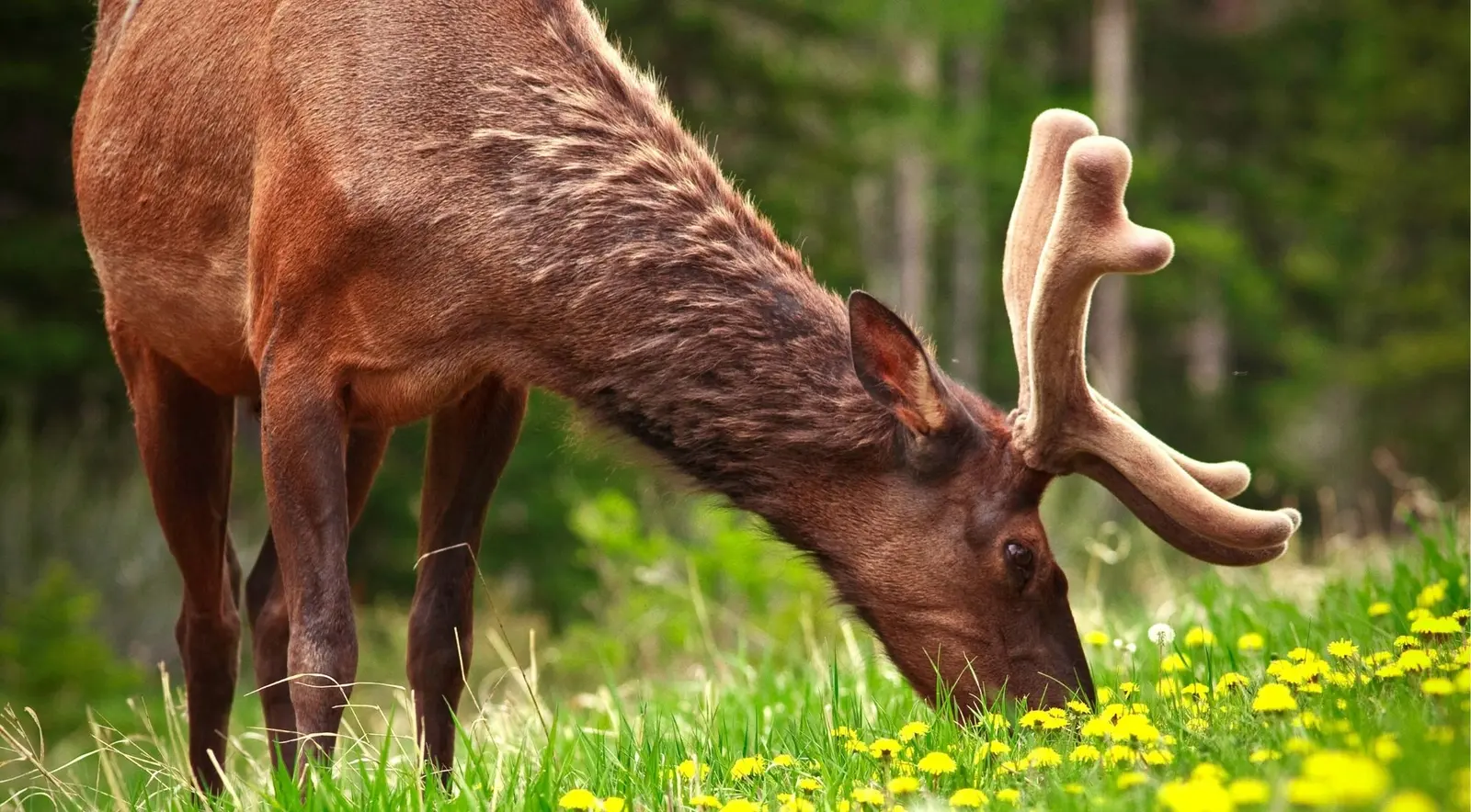
Here's the detail that explains everything: the Bow Valley Parkway is unfenced. The Trans-Canada is fenced on both sides for 82km; the Parkway isn't, so animals move freely to and across it. Combine that with low elevation, montane forest, meadows and riverside marsh, and you get the best wildlife road in the Rockies.
The stops, westbound: Fireside Picnic Area → Backswamp Viewpoint (marshy Bow River overlook, good for waterfowl and scanning) → Muleshoe Picnic Area (montane forest and old-growth aspen beside Muleshoe Lake, backed by the 1993 Sawback burn — burns regrow fast and pull in bears, sheep and elk) → Johnston Canyon → Moose Meadows (scan the treeline at first light) → Castle Junction → Storm Mountain Viewpoint → Baker Creek → Protection Mountain Campground → Morant's Curve → Lake Louise. Expect elk, deer, black bears, grizzlies, wolves, coyotes and the occasional moose — morning and dusk, overwhelmingly.
The restrictions you must check apply to the eastern 17km, from just east of Fireside Picnic Area to just east of Johnston Canyon Campground. An overnight travel restriction closes it to all travel — vehicles, bikes, pedestrians — 8pm–8am, 1 March to 25 June 2026, to protect grizzlies and wolves at a critical season. (Some tourism sites quote 6pm–9am; the Parks Canada figure is 8pm–8am.) A separate daytime vehicle closure for cycling restricts vehicles only — bikes and walkers welcome — 8am–8pm, 30 April to 25 June and 1 September to 6 October 2026 (the programme is approved through 2030). During that daytime closure, reach Johnston Canyon by car via Castle Junction, or park at the Banff train station and cycle in.
Parks Canada also periodically imposes an enforceable 1.5km no-stopping zone between Baker Creek Chalets and Protection Mountain Campground when grizzlies feed along the valley bottom and rail line. It's declared as needed, usually spring and early summer, and marked with signs — watch for them. Roam Route 9 (seasonal) serves Johnston Canyon via Castle Junction.